Sunday, August 6, 2017

Day #12 on the Paumanok Path...

Although the forecast was calling for rain all day, Rosa and I decided to continue on the trail today. We felt really good about our progress, and wanted to keep the momentum going.  We decided to head out even earlier this morning because the drive to get to the trail is now an hour away! We left by 6:30, and were on the trail by 7:38.

We parked on Middle Line Highway, right near the Paumanok Path sign, and were on our way. We were hoping the rain would hold off until we at least got started into the woods, and our prayers were answered. It remained overcast until about 15 minutes into our hike and then remained raining steady for the duration of our walk.


About a half mile into our walk, we came across this interesting, almost perfectly circular pond, with an equally circular formation of lily pads in the center. According to Google maps, I believe it is named Camps Pond. It was a really beautiful little area to begin our day. We were able to enjoy the smooth look of the water surface before the rain began.


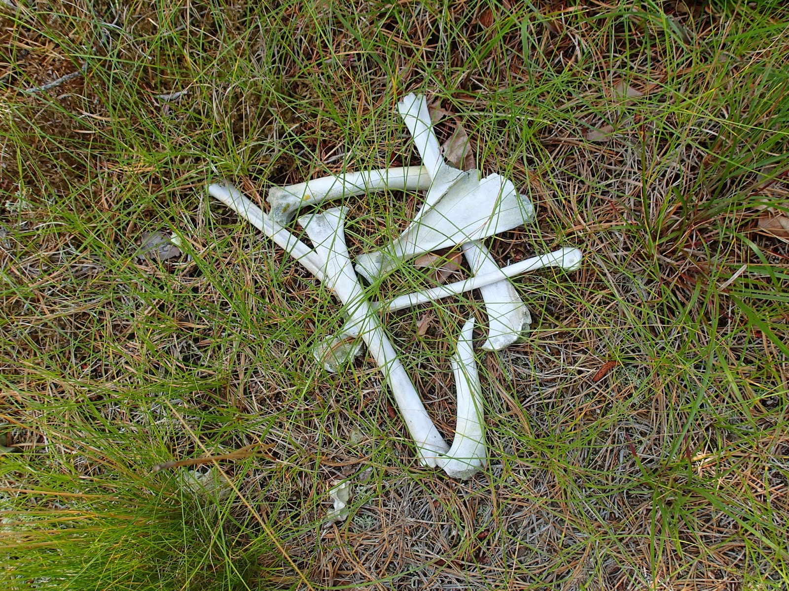
Still south of Middle Line Highway, the next mile and a half had us winding around patches of twisted trees and crossing over Noyac Path before making our way north to cross back over Middle Line Highway.  We walked behind and around some absolutely beautiful houses, walking up upon some pretty random things, like a skull and bones of an animal, to random structures, that seemed to be no where near anyone's home to be utilized.


We came upon plenty of deer today, startling them way before I could get any pictures of them.


At about two and a half miles in, we were directed out onto Millstone Road for about a half mile, until the trail brought us back into the woods and had us walking north. The trail was very slippery by this time, as the leaves and branches were soaked by the rain that was steadily coming down.  Thankfully, neither of us were bothered by it, and welcomed the coolness that it brought.


The trail become extremely hilly at this point as well.  We would ascend, slowly, and need to take a second's breath at the top before continuing.  We got quite a workout today! About 4 miles in, we came across a path that would take us to Trout Pond Park. From the maps, it looked like it would be 1+ miles off of the Paumanok Path, so we admired the sign posted, and continued on our way.

It would be another 2 . 5 miles before we would cross another paved road, but we were kept busy by all of the turtles we came across in our path.


 photo by Carole Warren
Five to be exact! Each with such a beautiful pattern on their shell, and each so very different from each other. Some retracted immediately into their shell, yet others just stood, head still out, waiting for us to pass.  We tried to move past them quickly, as to not disturb or frighten them.  The last one we saw, however, was either ready for his close up or ready to battle, as he just stood there, glaring at the camera, not budging at all.  We got our picture, and went on our way, thankful for all that we saw today.


 We had just passed the 6 mile mark, and crossed over Stony Hill Road. We had decided that we would call Mike for our ride home, knowing we would reach our exit point in a little over a mile.
The homestretch to our endpoint, to our shelter from the pouring rain, to our seats and a hot meal.  We were happy to be finishing up today.

I came across this fallen tree, which when it fell, snapped into what I saw was the letters N Y.


This section of trail had a huge cluster of glacial erratics.


This last stretch of woods would take us out to the Bridgehampton-Sag Harbor Turnpike, and would have allowed us to complete 7. 6 miles of the trail.  We were very happy with how much progress we have made.  We were even more excited when we immediately located the blaze and Paumanok Path sign to direct us where we would be beginning next time.


 You can check out our progress on the map below.


Until next time,

Rosa & The Thruhiker's Wife

Friday, August 4, 2017

Day #11 on the Paumanok Path...

Rosa and I set out pretty early today to hit the trail ~ we had to drive 53 minutes to where we were leaving our car as an endpoint. We made our way over to Great Hill Road (off of Majors Path) and picked up the trail where we had stopped a few days prior.  We walked in the woods for about a mile and a half before crossing over Water Mill Towd Road, and successfully navigated around the back of some tremendous, beautiful homes in the neighborhood.

 Although very muggy, we had a great day. It will always be a great day when we come across beautiful creatures such as this guy, who patiently waited for us to walk by, before continuing across the trail on his mission to somewhere.  The woods were very hilly in this section, and mostly clearly marked. The white blazes are apparent, but were coupled with lime green oval disks notating the Hamlet to Hamlet footpath.


A little over 5 miles were spent in the woods, with shade, thank God, because it became hotter and hotter as the hours ticked away.  It was very disappointing to us that we couldn't just jump into one of the massive, beautiful pools in these yards, but we marched on, and enjoyed the views.  We did not come across any ponds on our route, but there were still so many mosquitoes buzzing around us for almost the whole duration of our trek. We just tried to stay positive and cool.

 The last section we did today took us through Noyac Hills County Park. In the middle of the woods, with no path leading to its base, there was a wooden structure. It took us off guard for a moment, and then we realized that it must be for hunters to hide on while stalking their kills. Of course we climbed up to the top to check out the view ~ there wasn't one other than the trees.


 The rest of our scenery for the day was beautiful and scenic. All around us, the woods become one blend of greens and browns. Nothing really stands out unless you are a bright flower, or a green, alien-face shaped leaf lying on a brown bed of leaves that have fallen.


 We hiked 6 . 55 miles today, and planned to come back tomorrow to knock out another huge chunk. You can check out our progress on the map below.


Until Next Time,
Rosa & The Thruhiker's Wife

Wednesday, August 2, 2017

Day #10 on the Paumanok Path...

Rosa and I decided to squeak in a short hiking day today, as our schedules allowed for an hour or so.  We knew we had a nice 2 . 5 mile clip we could complete, so we decided to go for it.  I invited Dakota to join us, and happily, she accepted.

We began where we left off last weekend, at the intersection of Majors Path and Cove Neck Lane. It was about 12:30 when we began, so the heat was in full force by the time we stepped on the trail. This section was pretty uneventful, as we traveled around the southern border of the Southampton Landfill, and up and over some pretty steep terrain. We thought we were done with these kinds of hills once we finished the Manorville section, but I guess not!


We came across this fallen tree, which from afar looked like a giant spider, and some dirt bikers, who thankfully slowed as they passed us on the trail.

It was a great day, and it was really nice to have Dakota with us today. She taught us about the gender of pine cones, lichen on the trees, and even cleared some spider webs as we walked (that's what happens to the line leader).

We went a distance of 2 . 38 miles, all of which were in the woods, which was nice. Other than the heat sucking the life out of us, we had a great day.

We came up to one of the largest glacial erratics we have seen, Dakota climbed to the top, took some pics, and of course, we had to take a selfie before we left! We saw the word "PROM?" in blue paint across the front side of the rock ~ although quite the romantic gesture, this beautiful rock is now blasted with blue paint for all to see. I was a bit disappointed about the paint, but it was still a beautiful spot to see right before we exited the woods.

The trail exits out onto Great Hill Road, just west of a large tower.  This will make it easy for us to find it's entrance on our next hiking day.

We are moving right along, with a little over 70 miles under our feet. Our goal is to complete the trail before Dakota returns to college on the 27th of this month. We are on track to accomplish this goal, so we are very excited.

You can check out our progress on the map below.


Until Next Time,

Rosa & The Thruhiker's Wife

Sunday, July 30, 2017

Day #9 on the Paumanok Path...

What a beautiful for hiking! We were up, and out on the trail today by 8:30 am.  Today's endpoint was uncertain at first, as there is nothing posted ANYWHERE about this section of the trail.  We drove around the area near the landfill in Southampton, and decided to leave my jeep parked on the side of a road called Majors Path, with a note on my window saying "Out hiking ~ will return to my car" so no one would think my jeep was abandoned. We began at last week's endpoint, the Preserve entrance on Millstone Brook Road. Most of today's hike was in brisk air,  mostly walking  in the woods, with beautiful views, great company and NO TICKS.


Although there is almost no information on this section of the trail, and it's development, I can happily say the blazes in this section are well marked, and the trail is very well maintained.  There are a few sections where we were on the road for a bit, but it was great as we walked passed other friendly people, exercising, riding bikes, mowing their lawns, and just outside enjoying the beautiful weather.  We both agreed it was one of our favorite sections of the trail so far.

The trail wound through the Wolf Swamp Sanctuary for the first mile, we crossed over Scotts Road, over another section of Millstone Brook Road, and came up on Big Fresh Pond. It was a beautiful, calm body of water set in the middle of what felt like nowhere.
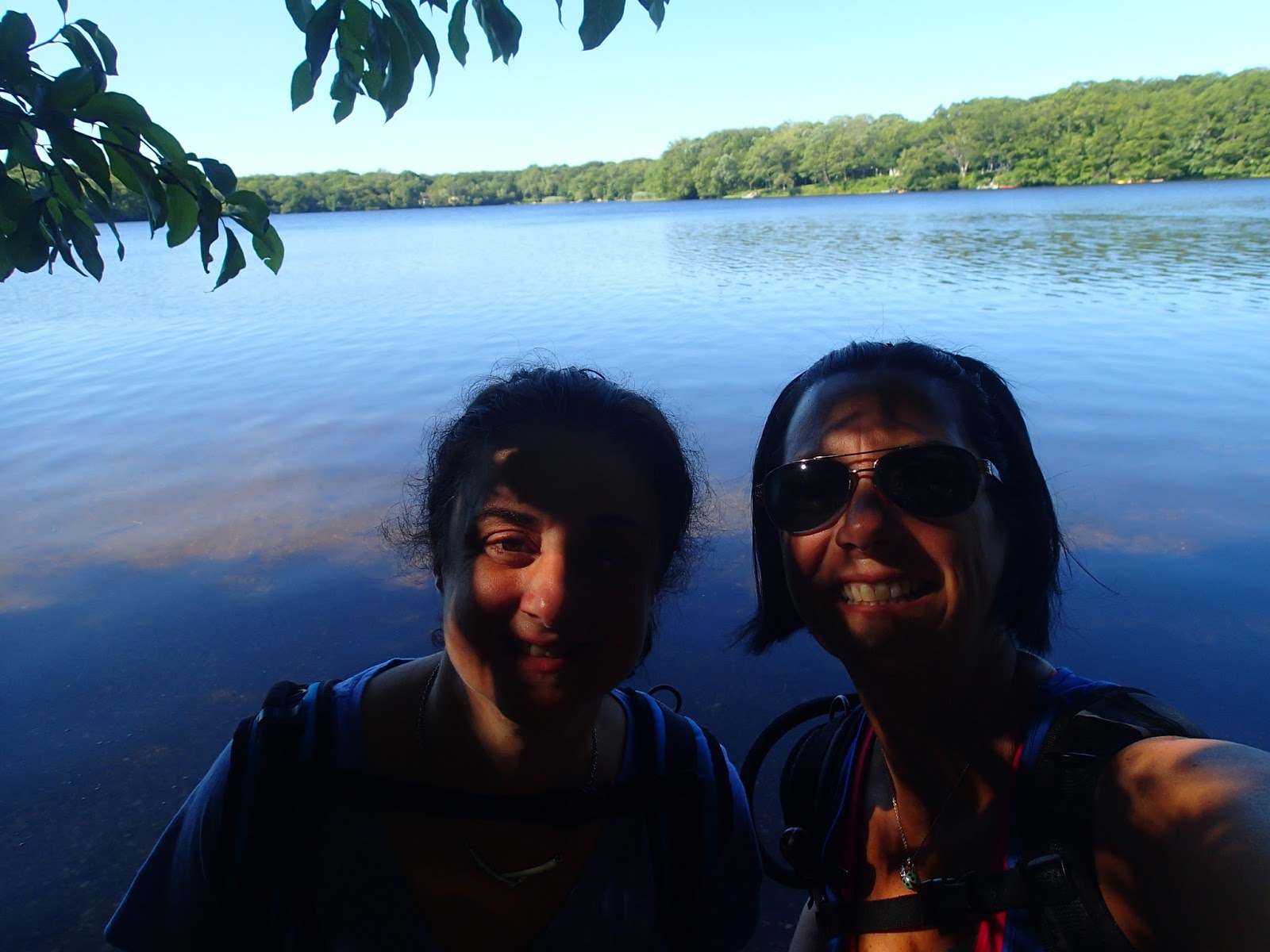
Pond selfies!
Big Fresh Pond


After enjoying the view on the shore of Big Fresh Pond, we continued walking and entered into Emma Rose Elliston Memorial Park.  There is a beautiful monument in the park, dedicated to the residents of Southampton Town.

photo by Carole Warren


This park was beautiful, with many small foot bridges helping us cross over little streams throughout the park. Normally we know when we are coming up to any type of water, as the mosquitoes begin buzzing all around us, but not today! It was peaceful and beautiful throughout the mile we were in the park.

We exited the wooded area, crossed over North Sea Road, and proceeded to navigate in and out of the woods, and through some residential areas, hosting beautiful homes and friendly people.

As we approached the next crossing of a road, which happened to be North Sea Drive, we stopped a nice couple who were walking their baby in a stroller to ask if they knew how far away the landfill was.  We knew it was where I had left my jeep, so we were hoping it wasn't too far from where we were.  They said, yes, it was just around two corners right up the road! We were so happy and proud of where we estimated we should have left the jeep.  We proceeded through about a half mile of more woods, and the trail dumped us out onto Cove Neck Lane.  Wait, where have I seen that before? Oh yeah, I looked to my right, and there sat my jeep, note still attached, undisturbed. We had successfully found the car, completed 4.8 miles, and felt so great about our day.  I took a picture earlier in our day, while still in the Memorial Park that just about sums up our day:

photo by Carole Warren
You can see our progress from today on the map below. Cumulatively, we have completed a little over 70 miles of the 125 mile total that we want to finish. We are right on schedule, and looking forward to getting a few hiking days in this week, so stay tuned!


Until Next Time,

Rosa & The Thruhiker's Wife


Sunday, July 23, 2017

Day #8 on the Paumanok Path...

Last week, I ventured out to see what the next portion would look like for Rosa and I, and was met with some pretty challenging events... getting a little lost, several times, breaking my prescription sunglasses, and my phone battery dying. I want to say a huge thank you to all that reached out to me and offered a portable phone charger for my next venture.  I did appreciate the outpouring of concern.  A huge shout out to my trail angel Kenn, because last night he dropped this off with a note attached.

trail angel gift from Kenn
So as of today, I am fully backed up with a heavy duty back up charger, "adventure" edition.  Thank you Brother K.

Rosa and I were back on the trail this morning, and ready to go! It was decided we would hike from where we were last picked up together, 2 weeks ago.  Last week's adventure was just a trial run for the upcoming, underdeveloped portion of the trail.  Today, we were ready.

our trail angel Mike dropping us off
Mike dropped us off at the intersection of Newtown Road and Gate Street in Hampton Bays. We proceeded down Gate Street, and walked the length of Canal Road West, along side of the Shinnecock Canal.  Thanks for the ride ~ now we set off to hike approximately 10 miles to where my jeep was parked.


As we crossed over the canal, we took some selfies as the view was much better than last week.

Shinnecock Canal Selfie
The next few miles would be spent navigating through residential roads, thankfully marked with bright white blazes.  This is the section I missed last week, as I did not see the white marked at the entrance of Old Canoe Place Road. Even though we were road walking, it was down a private, quiet street, with beautiful homes, and minimal traffic. The trail took us along side some homes still unders construction and into another beautiful section of woods.


We weaved our way through the woods, and ended up at the entrance to the Nature Sanctuary. This was the place where my glasses broke, and I was covered in ticks last week.  We reapplied our tick spray and dove it.  Almost waist high in weeds, branches and brush at times, it was the hottest part of the day for us, and with no shade in sight, we couldn't wait to get through this section of the trail. We saw some beauty, like the lonely orange flower blossoming among greenery, and some not so pleasant views, like this pile of bones lying in the trail.  Thankfully, we exited the Sanctuary with no ticks, and were on our way to another section of road walking.

We walked east on Route 27, and crossed over at Tuckahoe Road through a few miles of residential streets.  This portion of the trail, which crosses through the Shinnecock Hills Golf Club, is completely out in the open.  There is no shade, just winding roads, in the heat. We headed east on Sebonac Road, and were so tired and hot. So, with these conditions, there was nothing better than the Mr. Softee ice cream truck that pulled up near Tuckahoe School. Of course, we flagged him down and bought creamsicle bars.  What a welcomed treat as we continued along the road to the entrance to Tuckahoe Woods Preserve.

Orange Creamsicle Treats!
With just under 9 miles under our belts at this point, we were really feeling the heat, and were so tired! The walk through the woods here was fairly uneventful, other than a few welcomed rests at various benches that were built by Eagle Scouts, and random bursts of very cool air, as if someone had opened a fridge right above us. Those were wonderful.


a welcomed rest stop in the Tuckahoe Woods
 The view from this bench was great - you can see for miles around. The bench was a nice place to rest our legs after the walking we did through the Preserve.
We sat, enjoyed our water break, reapplied our tick spray and were on our way to the last leg of our hike.  I think at this point, we just wanted to be at the car. Between the heat, and now having over 10 miles under our feet. it was time ot call it a day.


The last part of today's trail was some of my favorite, so far. The huge fallen trees, the twisted tree trunks, patches of ferns, and foot bridges were very interesting and fun to walk through.
One of many uprooted tree trunks
twisted tree branches


one of the many foot bridges we crossed


As we approached Millstone Brook Road, we developed a pep in our step, as we knew we were close to the car.  Only a few more minutes of road walking, and my jeep would be around the corner, waiting in the wooded lot of the Nature Preserve. And just like that, there it is! THANK GOD!


so happy to be done after 12.8 miles!
 So, you can check out our progress on the map below. A long, but very rewarding day for us!


Until Next Time, 
Rosa & The Thruhiker's Wife