 |
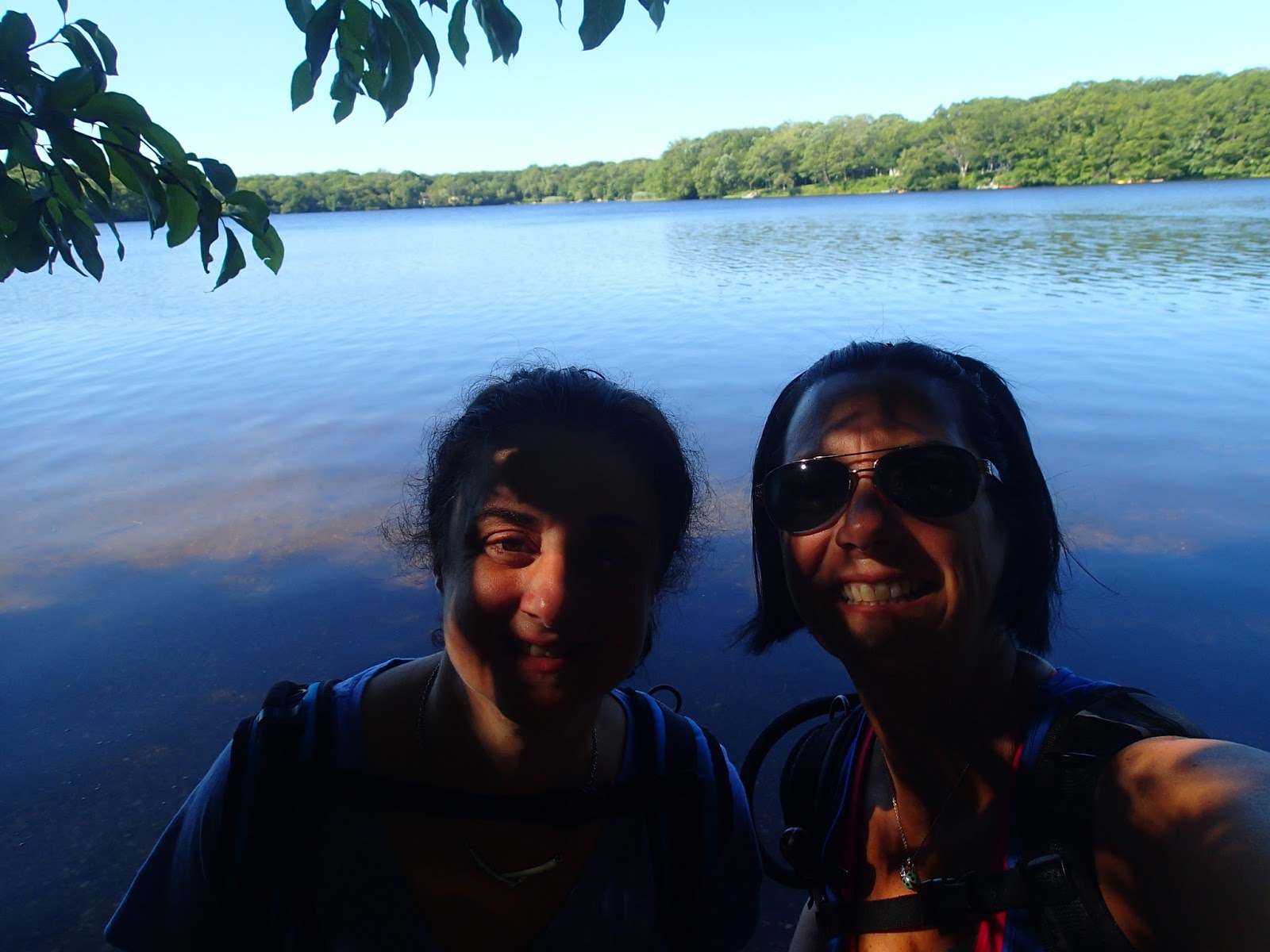
| my trail angels for the day |
My hiking partner Rosa was unable to join me this week, so after talking it over with her, I decided to continue up the trail solo today. I did promise that I would re-walk any section I had completed alone, with her, when she returned. I was going to take this opportunity to work out any kinks that could happen during our hike, like hard to locate blazes, undeveloped trail, and just feel more comfortable about this portion of the trail which is barely documented on any maps I have been following. Boy was I in for a crazy day!
My two supportive trail angels followed me out to Millstone Brook Road, in Southampton, where I parked my jeep as an endpoint for the day. It was supposed to be about a 9 mile walk, mostly on roads. After my jeep was safely parked, Ted and Dakota dropped me off at the intersection of Newtown Road and Gate Street in Hampton Bays. Thank you both for taking the ride out East, to the Hamptons, on a Saturday morning. Thankfully, it was a pretty quick delivery for them.
I immediately saw and followed the white blazes that were painted on the telephone poles and street signs, as I was walking the first several miles through residential neighborhoods and on Montauk Highway.
I was pretty excited about the beginning of the trail today, as I was going to encounter a beautiful view of the Shinnecock Canal as I crossed over the bridge on Montauk Highway. As you can see, with the mist in the air, the view was not as clear as I would have hoped it would be.
 |
| the view South of Montauk Highway |
There were a ton of boats traveling through the canal, underneath the bridge where I was standing, as well as a bunch of fishermen all lined up along the one-way street running along side of the canal. You can actually see the cars lined up, and the fishermen standing along the edge, in the view looking North of the canal.
 |
| Shinnecock Canal view North of Montauk Highway |
After crossing over the Canal, I knew I was supposed to wind in and around approximately 3 miles of residential roads to continue on with the trail. Well, once I crossed the bridge, I couldn't locate the next white blaze that would direct me to the correct road. I made an immediate decision to follow along Route 39, North Road, heading East. I figured I would see a white blaze any minute to validate my decision. Well, I ended up walking 1.7 miles along this road with no white blaze in sight. I walked to the end of the road, where it meets up with Route 27, Sunrise Highway, and decided that my decision to walk this way was definitely the incorrect one. The road ended, with no way to continue, so I backtracked, as you will see on the map at the end of this post. Using GPS on Google maps, I decided to find the first road that would cross me back over the Sunrise Highway. I located it, and was headed back to Peconic Road, only .6 miles back in the direction I had just come from. I walked .2 miles heading South on Peconic Road, and as soon as I crossed over the highway - BAM - I saw the white blazes I was supposed to be following all along. I made a mental note of them, as I will be able to recognize the turn when Rosa and I hike this portion, and not have a 2 mile detour out of the way.
I was extremely happy to follow the white blazes again, and I was very careful to try and spot several ahead of me at all times.

Every once in a while, a Paumanok Path logo would be attached to a tree or sign, giving me further validation that I was on the right path. I also got to enjoy a few deer, and this rabbit, that just sat there, and let me get pretty close to take it's picture. It sat for a few seconds, and then finally hopped off into the woods, and I was on my way. I road walked through a beautiful neighborhood, down Longview Road, and was directed to make a left at the end onto Hills Station Road. The blazes took me into what looked like a driveway/service road that was in between two private properties. It was IMPERATIVE I locate the blazes at this point, as I was right smack in the middle of everyones' properties. The trail is not well maintained here, as I was marching through knee high brush and fallen trees. But, only after a few steps, ended back up on Hillside Road, which took me to Arbutus Road, where I made my second wrong decision of the day. I could not find a blaze ANYWHERE, directing me to either go left or right onto Arbutus Road. I thought I may have to go left, as to stay close to the Sunrise, because that is what I remember feeling was the correct direction. I walked left for about 5 minutes, and got that same feeling of not choosing the correct decision. As soon as I turned around, I saw the white blazes, all heading in the opposite direction! Thankfully, I didn't walk too far out of the way before correcting my path.

After what seemed like forever on the road, I finally entered back into the woods. I was actually excited to be back in the trail, as opposed to the road, as I felt the woods were better marked than the roads with blazes. Or so I thought. A few minutes into the trail, entering from Shinnecock Hills Road, brought me directly in front of railroad tracks. I could not see a blaze to the left or right of me, nor in front of me. I must have looked for a solid 5 minutes at every tree around me for a blaze. I saw nothing. At this moment, I was at a loss. I wanted to solve this mystery on my own, but decided to call my thruhiker hubby for some direction. After about 3 minutes on the phone with him, assuring him I was okay, not panicking, and just a bit confused with my next steps, he walked me through how and where to look and find the next blaze. And, just like that, I saw it. Up on a tree, higher than usually posted, and in the complete opposite direction that I thought I was heading.
The unfortunate part of this area was, as I was setting my stuff down to get myself reorganized, my prescription sunglasses slipped off of my face, and crashed onto the gravel by the railroad tracks. Yes, they broke. Anyone who knows me, knows I NEED those to actually see. THANK GOD I had decided to bring along my regular glasses in case I no longer needed sun glasses. So, a painful loss of my glasses was present, but a victorious feeling of locating the blaze to be able to continue.

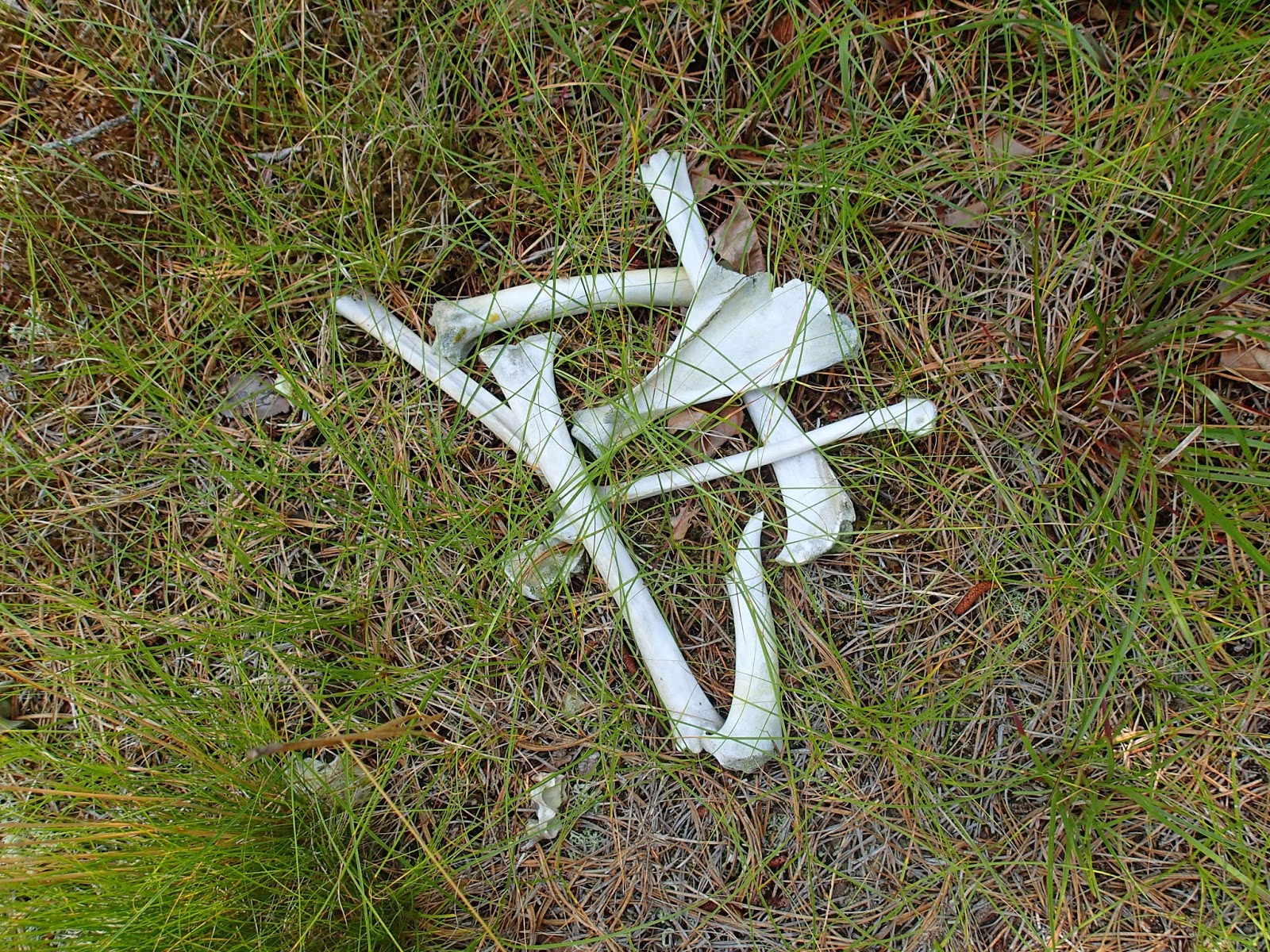
The next section of trail lead me through a nature sanctuary, that was extremely under maintained in the beginning. I was sometimes waist high in bushes, tall grass, and branches everywhere. Ticks were crawling everywhere, but I was able to keep a watchful eye and brush them away as quickly as they decided to hop on for a ride. I did not come across much of anything inside this preserve except a path full of animal droppings along the way, and plenty of grasshopper like bugs, jumping everywhere. Oh, and this sign, that was facing the trail for whoever was heading west on the Paumanok Path.

I was extremely grateful to be done with this section of the trail. As I approached the road, the trail itself became almost impassable. I just marched for about 20 steps through what I thought was the trail to reach the edge of the road, and stepped out onto the side of Route 27. White blazes were evident immediately, on the pole behind the college signs, and just like that, I was back on the road for the next few miles.

I walked east on Route 27, uncomfortable with the minimal shoulder provided, and quickly crossed over to make my way up Tuckahoe Road. I was in for another few miles of road walking, but welcomed it after the horrific, tick infested, poorly maintained trail I just finished. I walked past the Shinnecock Hills Golf Club, with this crossing sign posted. I was so hopeful to see turtles, but only saw golf carts crossing today. I guess I will see more of them when the trail return to the woods.

White blazes brought me just over 2 miles heading north on Tuckahoe Road, and then east on Sebonac Road until I approached my next entry point into the woods. As soon as I approached the sign for the Tuckahoe Hill Preserve, I sat for a moment to take a rest. I was about 9 miles in at this point, after all of my wrong turns, and walking, and the sun came out, and it was HOT. I knew at this point, that I had about 3 more miles to go to find my jeep, so off I went.
Other than the over abundance of mosquitoes buzzing in and around my eyes and ears, this section of woods was beautiful. There were a few marshy areas, but it was quiet, and just enough sun broke through the trees to make for some beautiful scenery.
This section of trail was a bit hilly, so I was very grateful for the bench that was built and seated at the top, in a huge grassy area, as well as the scenic view that reached for miles above the trees.
Concern set in, however, because as I was taking these latest pictures, my phone began to beep with the low battery alert. Because of all of the uncertainty with trail direction, I was using my Endomondo app, google maps, calling/texting Scarecrow, and I was now left with 15% battery life left. I began to pick up the pace for the next portion, which was in pretty thick woods, as to not deplete my battery before completing this last few miles of trail. Even though my phone life was depleting rapidly, I was very grateful for my camera having full battery because I walked past a really beautiful, twisted portion of woods. One tree was cooler than the next, winding up and around other trees, in all different directions.

Although at the peak of exhaustion, I did enjoy this section of the trail. Between the twisted trees, huge uprooted tree trunks, murky streams, foot bridges and glacial erratics, I was kept interested in everything around me.


The last mile of today's hike was mostly spent with me speaking words of gratitude for the last bit of energy in making it to my jeep, being able to walk the whole way, witness such beautiful scenery, and my safety in today's journey. There were a few times where mishaps were present, and I made it safely through all of them. I was so excited when I turned the corner to find myself at the entrance to the Nature Conservancy, where my jeep was parked and waiting for me.

Below, you will find 2 maps. The first is the beginning of my trip today, and when I realized I was a bit lost, accidentally stopped the map instead of paused it. The second one began where the first one ended, and thankfully took me to the end of my hiking day.
 |
| Shinnecock Canal to Longview Road |
 |
| Longview Road to Millstone Brook Road |
A pretty long, hot, exhausting day, but so worth it. I missed you today, Rosa, and am looking forward to sharing this part of the trail with you when you get back. We will get it done, just without all of the wrong turns, detours, and questionable areas.
Until Next Time,
The Thruhiker's Wife


